Description
Thrunton Wood

Details
| Hills: | Some hills | |
| Distance: | Medium distance | |
| Grade: | Moderate (hills) | |
| Map: |  |
|
| This walk is on map 332 Alnwick & Amble. Click on map image to buy this map. | ||
| Declaration: We are a participant in the Amazon Services LLC Associates Program, an affiliate advertising program designed to provide a means for us to earn fees by linking to Amazon.com and affiliated sites. | ||
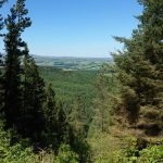
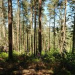
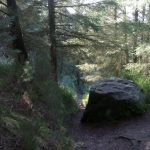
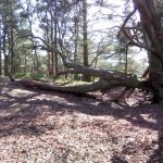
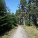
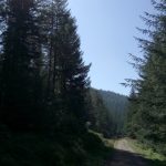
This is a walk around the beautiful Thrunton Wood, North of Rothbury. The Forestry Commission manages the wood. This wood is primarily coniferous. It is planted around two steep sandstone escarpments. Thrunton Crag is in the north, and Long Crag / Coe Crag is two miles to the south. The coniferous trees, situated on steep slopes, gives this wood an almost Canadian feel.
Start
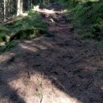
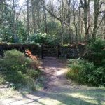
We will leave the car park and walk up into the wood before dropping down to the North edge of the wood, near the Forest Office. The path then weaves round the North West part of the wood. From here there is a short uphill section before we reach the gate into Castle Hill.
Castle Hill
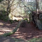
This is a site of ancient woodland. It is very different to the rest of Thrunton Wood. It is also the site of a prehistoric fort. The enchanting ancient woodland of Castle Hill is a great stop for lunch.

Callaly Crag
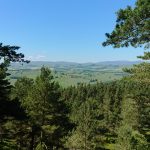
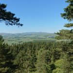
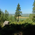
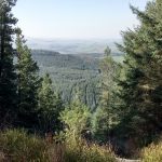
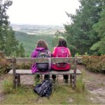
After exiting Castle Hill we follow a rough track, followed by another uphill section to Callaly Crag. The views from Callaly Crag, over North Northumberland, are magnificent.
Callaly Crag is the Western most extension of Thrunton Crag. There are several areas situated here, to allow walkers to sit and enjoy the spectacular views over North Northumberland.

Back through the woods
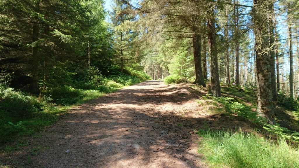
We will finish the walk by following the access roads back through the wood to the car park.
The Trout Fishery
There is a tea shop at Thrunton Long Crag Trout Fishery. We will be venturing there for refreshments after the walk.
Gallery
Home | Blog | Walks | Sign-up | Contact
Strolls with poles – Nordic Walking for Fun and Fitness


