
Description
Rothbury Railway

The Rothbury Railway walk is a lovely walk starting in the heart of Rothbury. We walk out of Rothbury and join the railway path, where the old station used to be. We follow this path all the way up to Pauperhaugh.
Details
| Hills: | Path is along disused railway and in fields by the river. | |
| Distance: | Medium distance | |
| Grade: | Easy | |
| Map: | 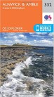  |
|
| This walk is on OS maps 332 Alnwick & Amble and OL42 Kielder Water & Forest. Click on map image to buy this map. | ||
| Declaration: We are a participant in the Amazon Services LLC Associates Program, an affiliate advertising program designed to provide a means for us to earn fees by linking to Amazon.com and affiliated sites. | ||
The start
We follow the River Coquet on the south side and folllow St Oswalds Way. This route follows the old railway track for a while.

Away from the Railway

We stay on St Oswalds Way, which deviates from the old railway (which turns south), into fields.
Pauperhaugh

The path heads past Butterknowes and Gleadheugh Wood, to Pauperhaugh. This is where we will sit for lunch.
We follow a different path back to Rothbury, where we will visit Bewicks
We hope to see you there.
Julie and Martin x
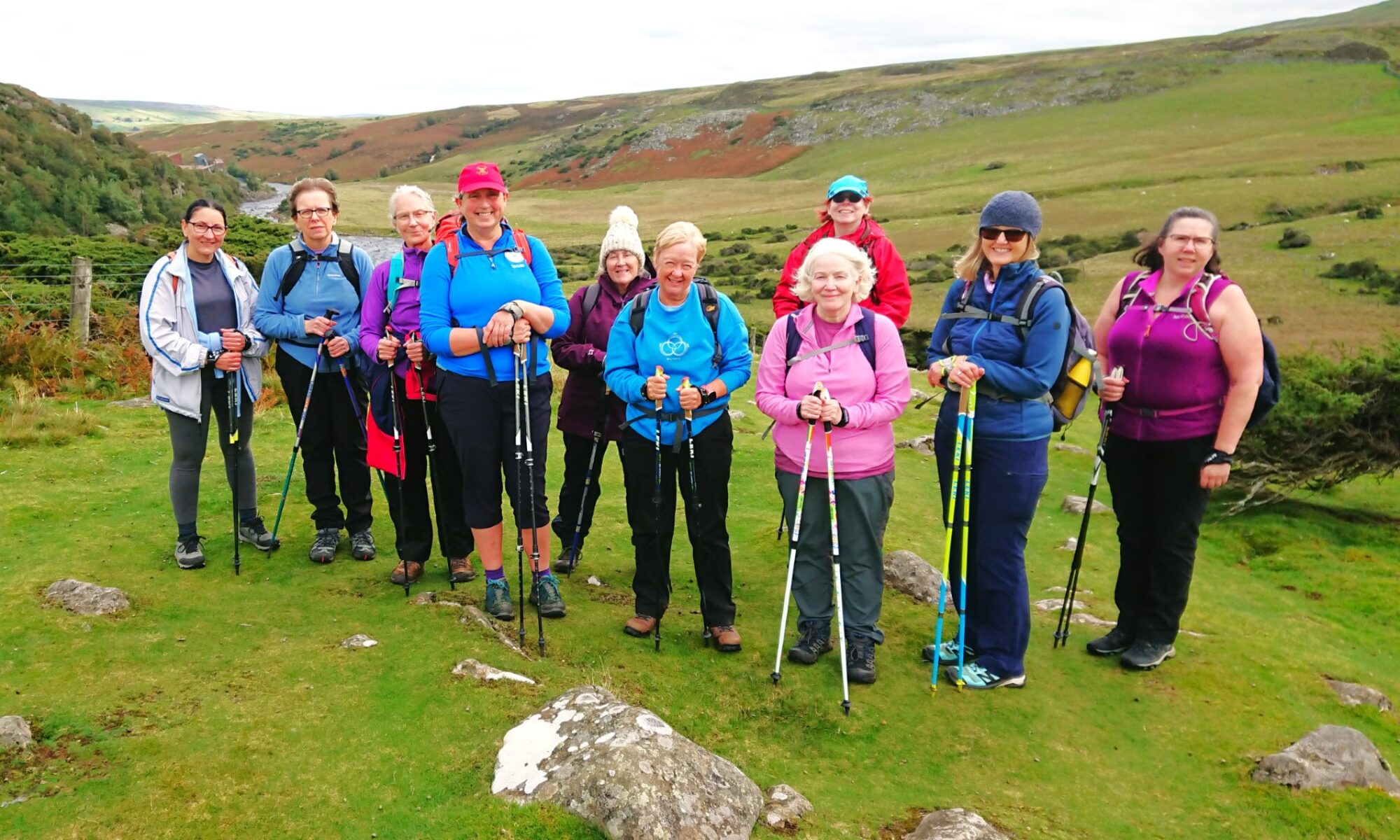
Gallery – Rothbury Railway


Home | Blog | Walks | Sign-up | Contact
Strolls with Poles – Nordic Walking for Fun and Fitness