Description
Simonburn and Hadrian’s Wall

Simonburn and Hadrian’s Wall takes us from the small village of Simonburn, just south of Wark, up onto Simonburn Common and back along a section of Hadrian’s Wall.
Details
| Hills: | Medium hills | |
| Distance: | Medium distance | |
| Grade: | Moderate with hills | |
| Map: |  |
|
| This walk is on OS maps Explorer OL43 Hadrian’s Wall. Click on map image to buy this map. | ||
| Declaration: We are a participant in the Amazon Services LLC Associates Program, an affiliate advertising program designed to provide a means for us to earn fees by linking to Amazon.com and affiliated sites. | ||
The start

We will start at the car park next to St Mungo’s Church. From here we walk towards Simonburn Tearooms but turn westwards along Castle Lane. Soon the road disappears and we take a bridleway up a steep path towards the ruins of Simonburn Castle.
Greenhaugh

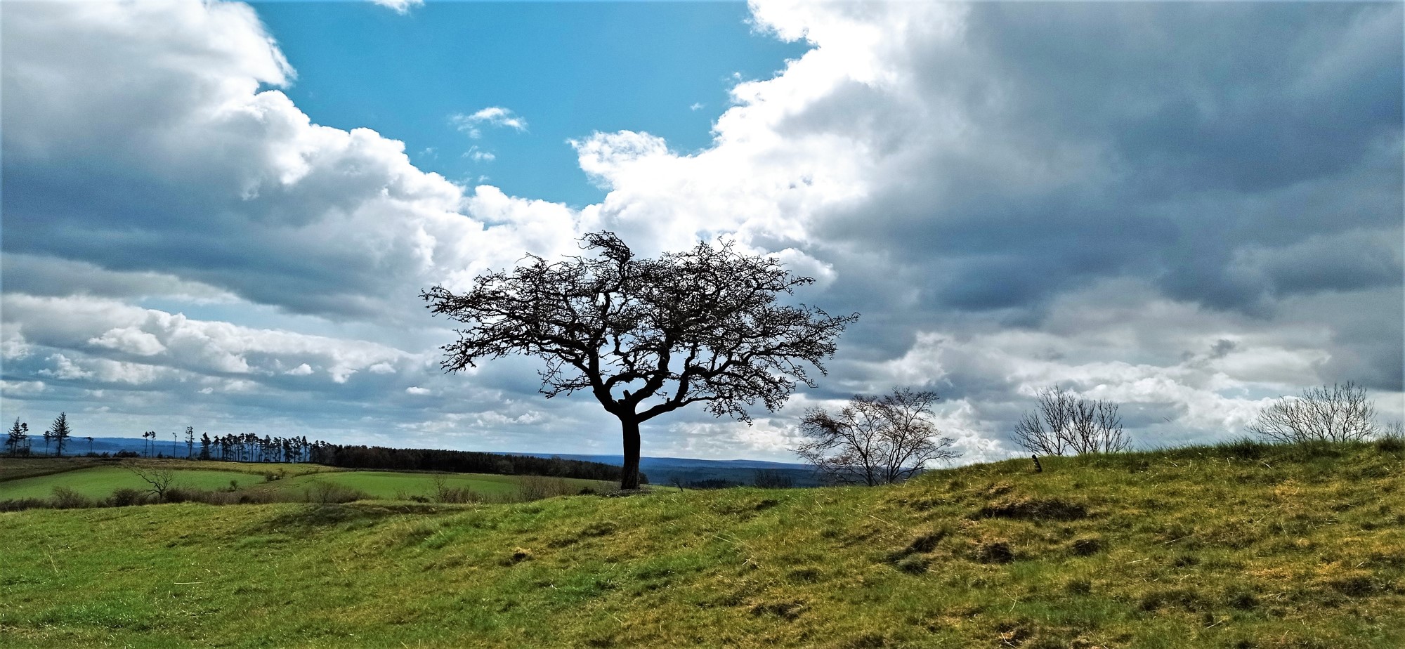
From the castle we continue on the bridleway towards Fenwickfield, where we join the bridleway to Greenhaugh. We are high up on Simonburn Common at this point and the views are magnificent. Green Rigg Wind Farm, near Sweethope Loughs, can be seen on the hills in the distance.
From Greenhaugh, we walk up the road a little and then join a restricted byway that heads down to Hadrian’s Wall and the Military Road.
Hadrian’s Wall, Brocolitia and the Temple of Mithras

When we reach the Military Road, we cross it to visit Mithraeum or the Temple of Mithras. This is the remains of a roman temple to the god Mithras. Alongside this temple are the remains of Brocolitia roman fort. This is the location for lunch.
Following the Wall

We follow the Military Road on the south side for a little way before crossing the road again. This is the course of Hadrian’s Wall and we will see significant remains of the wall still in place.

The route continues along the Wall until we meet Black Carts turret. Here we turn north along the road back to Simonburn.
At the end of the walk, we will stop off at Simonburn Tea Room for tea and cake.
Hope to see you there,
Julie and Martin x
Home | Blog | Walks | Sign-up | Contact
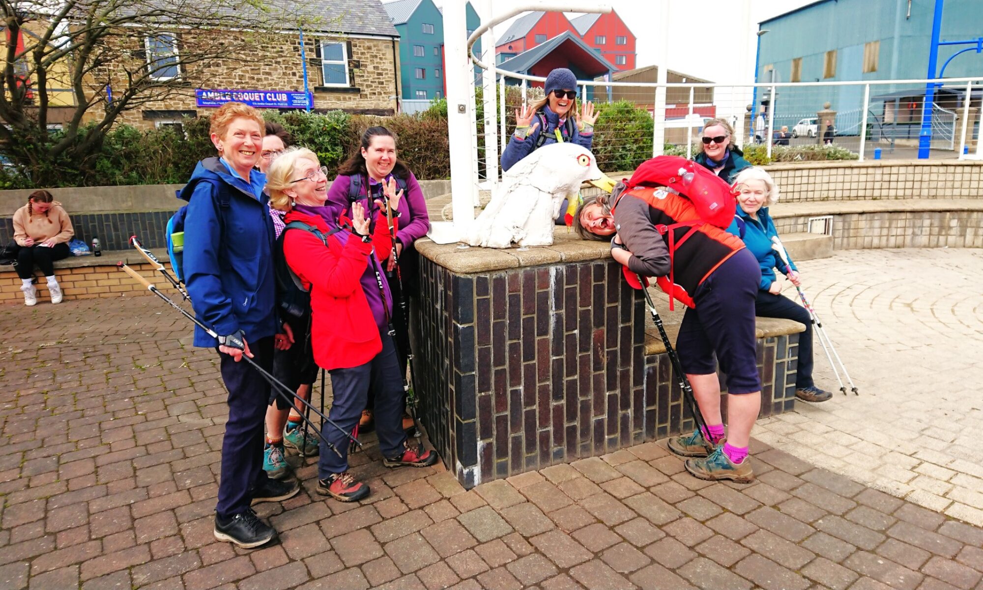
Strolls with Poles – Nordic Walking for Fun and Fitness