Description
Low and High Force
This walk follows the River Tees up to Low and High Force, through the magnificent countryside of Upper Teesdale.
Details
| Hills: | Some small hills | |
| Distance: | Medium distance | |
| Grade: | Moderate | |
| Map: |  |
|
| This walk is on OS map Explorer OL31 North Pennines – Teesdale & Weardale. Click on map image to buy this map. | ||
| Declaration: We are a participant in the Amazon Services LLC Associates Program, an affiliate advertising program designed to provide a means for us to earn fees by linking to Amazon.com and affiliated sites. | ||
Bowlees
We start at Bowlees, close to the Bowlees Visitor Centre. This visitor centre houses the Ford Kitchen Cafe, which is a great place to grab a tea or coffee before the walk.
Low Force
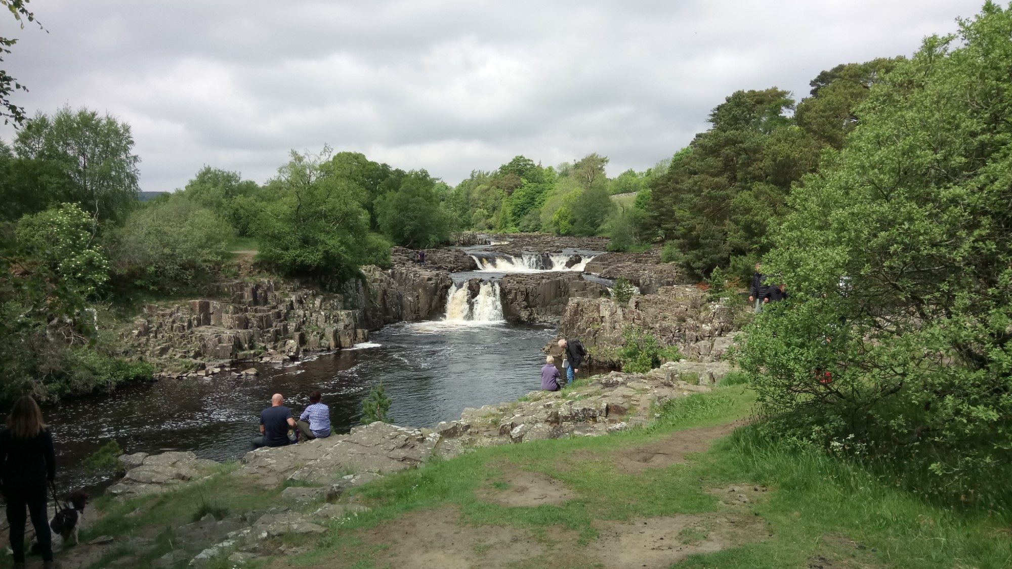
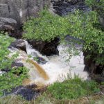
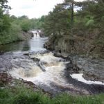
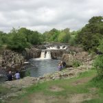
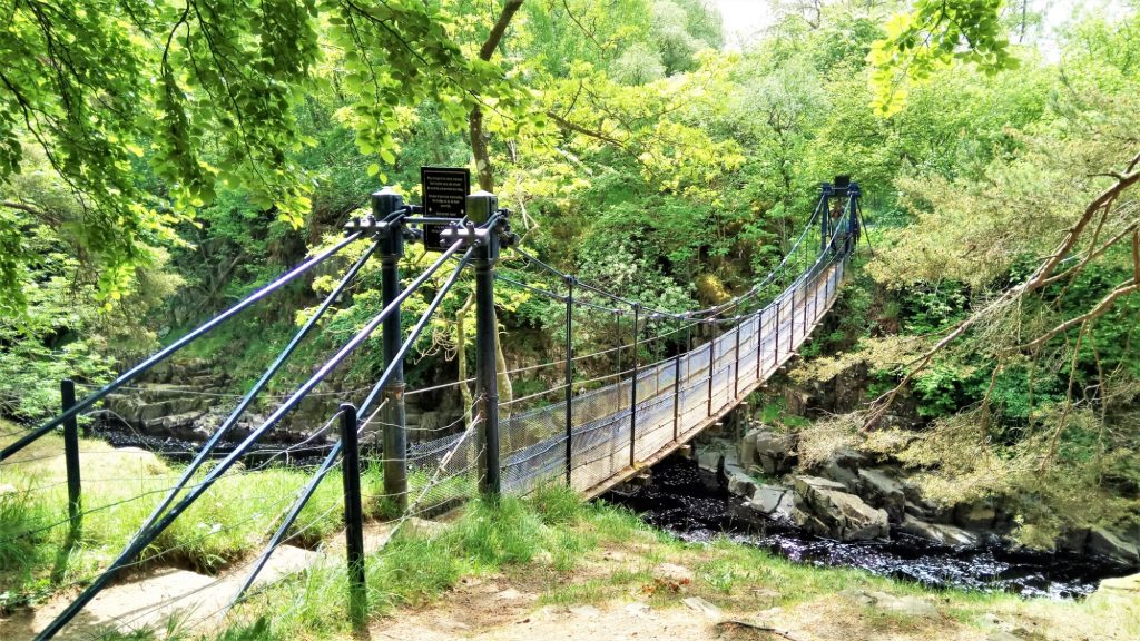
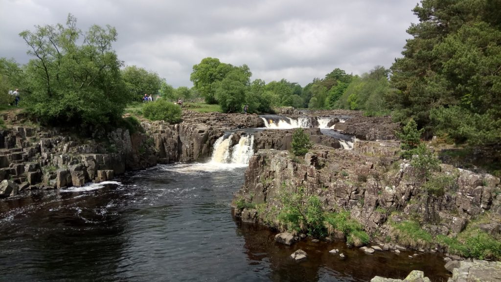
The first leg takes us down to the river and to Low Force, the smaller but still beautiful partner of High Force. After a photo stop here we cross the river on the suspension bridge, providing us with an alternative view of Low Force.
High Force
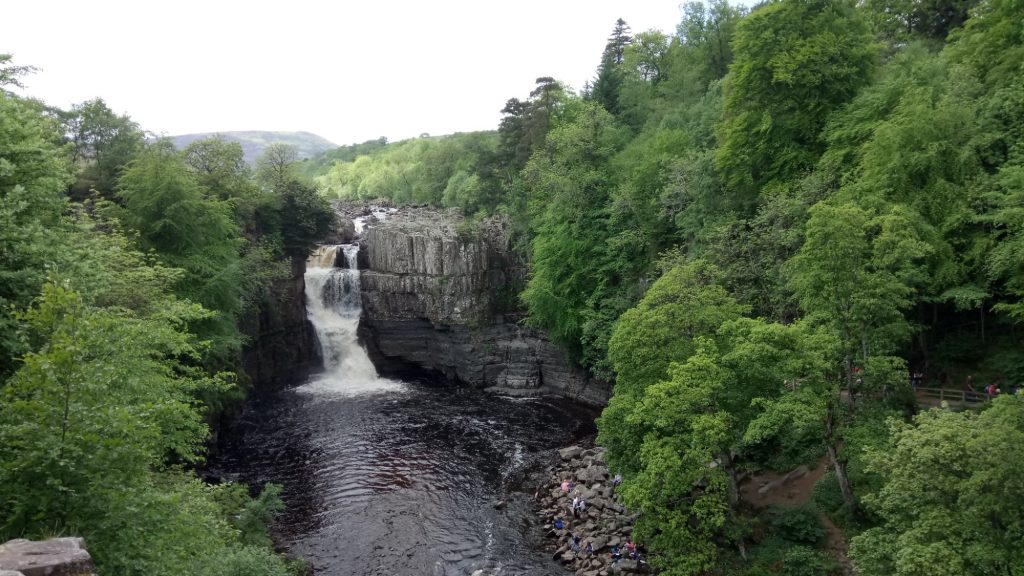
There is a short walk up the south bank of the river, along the route of the Pennine Way, to reach High Force. Many of the classic views of the waterfall are from this side. A little further up we can get a very much closer view over the falls.
Harwood Beck
We cross the Tees just below the confluence with Harwood Beck. The land is flat at this point and the fields are green and lush. Sheep and cattle share their fields with large numbers of Lapwings. In this area you’d be surprised that the Lapwing is on the RSPB Red List.
The route back
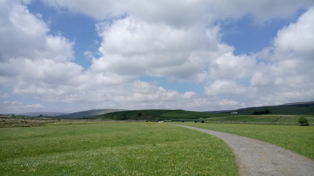
The route back down to Bowlees is via minor roads and bridleways. These sit a little way up the North side of the valley, providing spectacular views of the surrounding area. We return to the Bowlees Visitor Centre, where we can enjoy a relaxing tea/coffee before setting off home.
Gallery – Low and High Force
Home | Blog | Walks | Sign-up | Contact
Strolls with Poles – Nordic Walking for Fun and Fitness
