

Description
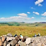
Windy Gyle

Windy Gyle is a great location with a great name. It is the highest summit on the Anglo-Scottish border.
Details
| Hills: | Significant hills | |
| Distance: | Medium distance | |
| Grade: | Difficult (Distance and hills) | |
| Map: |  |
|
| This walk is on OS map Explorer OL16 The Cheviot Hills. Click on map image to buy this map. | ||
| Declaration: We are a participant in the Amazon Services LLC Associates Program, an affiliate advertising program designed to provide a means for us to earn fees by linking to Amazon.com and affiliated sites. | ||
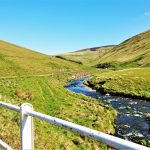
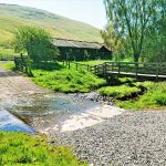
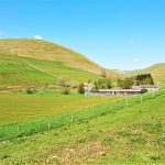
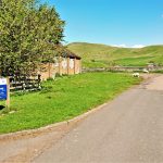
The start – Barrowburn

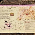
The start is Wedder Leap car park in Barrowburn. This is close to the top of the Coquet Valley and pretty remote. The name Wedder Leap is part of a legend. A wedder is a colloquial word for a sort of male sheep. The legend says that a thief stole a wedder and tried to make off with it by leaping across a burn, but lost his footing and was dragged into the burn by the weight of the sheep and drowned.
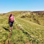
From here we take a path towards Wedder Leap and on past Barrowburn Farm. Just after the farm we start to climb Barrow Law.
Barrow Law

Barrow Law is the best way to gain some height into the Cheviots from here. It’s a bit of a climb to start but it allows us to relax a bit on the way to the next climb.
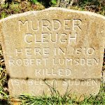
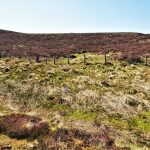
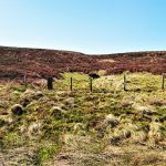
Murder Cleugh
Another place in The Cheviots with a great name. It is what it says though. A cleugh is a steep valley or ravine and there was a murder here in 1610. You can find out more when you read the stone that marks that event.
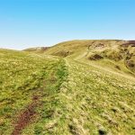
We cross another track here and continue along the side of Ward Law.

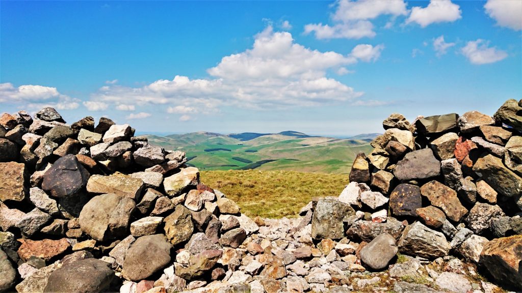
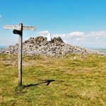
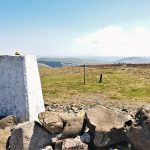
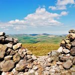
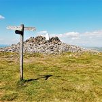
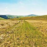
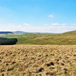
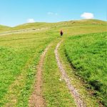
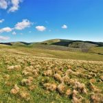
Windy Gyle and Russell’s Cairn
As we round Ward Law, we will see the last climb of the walk. This is up to Windy Gyle summit. The climb isn’t too bad and the reward is lunch at Russell’s Cairn.

The summit straddles the border between England and Scotland and is a lovely place for lunch.
When we are ready, we will take a walk west, along the border ridge.

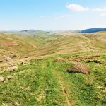
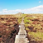
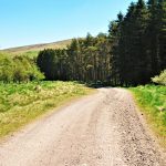
The Street
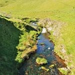
The descent is via The Street, which is an old drovers road. It takes a relatively straight path back towards Barrowburn and skirts the sides of Swineside Law and Hindside Knowe. It emerges by Rowhope Burn, from where we take the road back to Barrowburn.
Hope to see you there.
Julie and Martin x
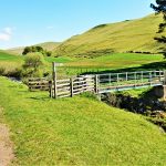
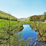
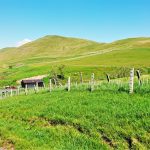
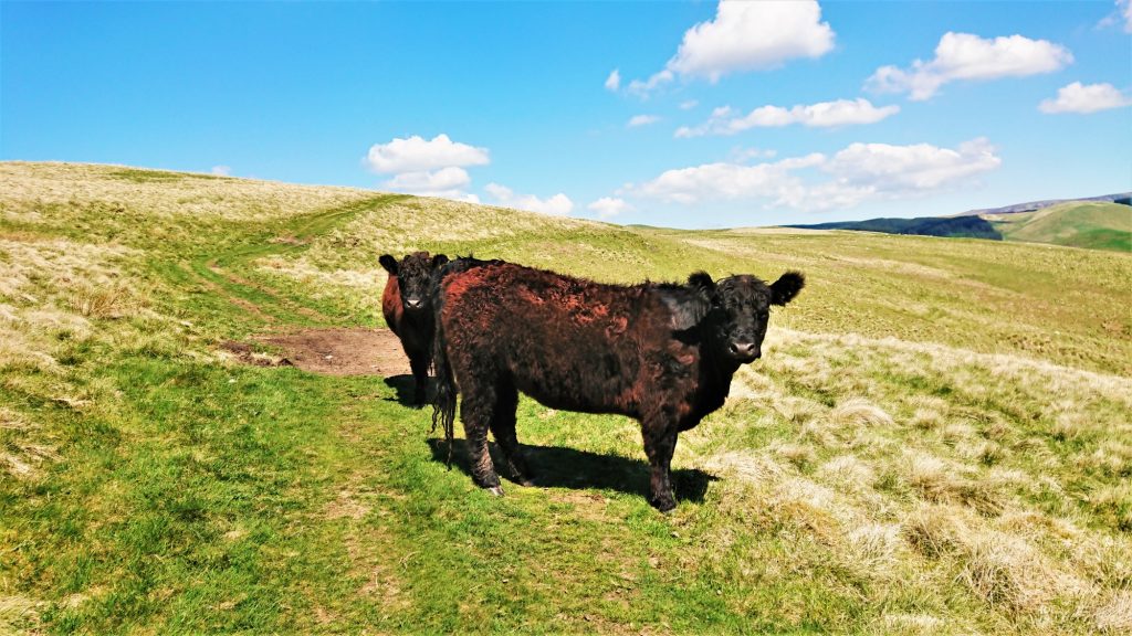
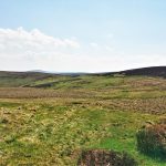
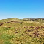
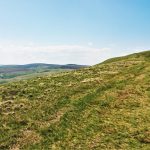
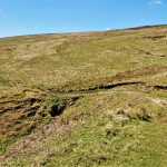
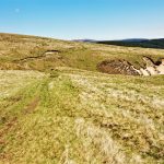
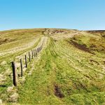
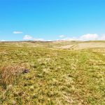
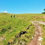
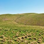
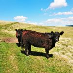
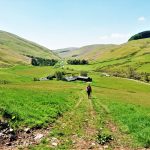
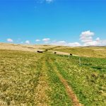
Gallery – Windy Gyle

Home | Blog | Walks | Sign-up | Contact
Strolls with Poles – Nordic Walking for Fun and Fitness