
Description
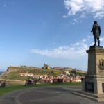
Whitby and Robin Hood’s Bay
The circular walk from Whitby to Robin Hood’s Bay, and back takes the King Charles III England Coast Path (also described as Cleveland Way on maps), as far as Robin Hood’s Bay. We then return via the Cinder Path, a disused railway line.
Details
| Hills: | There are some small hills. | |
| Distance: | Long distance | |
| Grade: | Difficult (Distance) | |
| Map: | 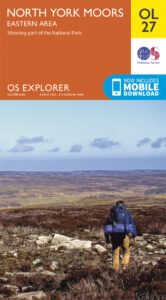 |
|
| This walk is on OS map Explorer OL27 North York Moors – Eastern Area. Click on map image to buy this map. | ||
| Declaration: We are a participant in the Amazon Services LLC Associates Program, an affiliate advertising program designed to provide a means for us to earn fees by linking to Amazon.com and affiliated sites. | ||
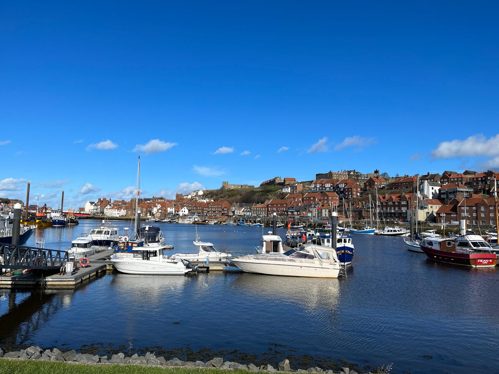
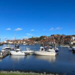
The start (for those starting at Whitby)
We start in Whitby and then head to the coast, by the Abbey. We will simply follow the Coast Path down to Robin Hood’s Bay.
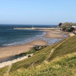
Robin Hood’s Bay
At Robin Hood’s Bay, we will will spend some time exploring the village and the harbour. There area plenty of gift shops and places to buy a snack. We will then head back to Whitby via the Cinder Track.
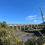
The Cinder Track
The Cinder Track is the remains of a railway that once travelled from Scarborough to Whitby. The railway closed in 1965 but the trackbed has been turned into a multi-user route. There are some opportunities for refreshments on the way back.
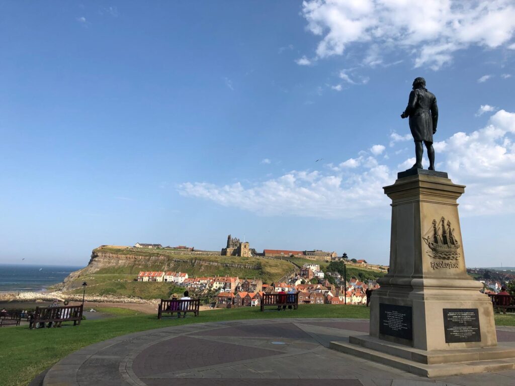
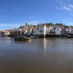
Back into Whitby
When we get back to Whitby, we can decide what to do for the evening.
Julie and Martin x
Bus routes between Whitby and Robin Hood’s Bay
If you only want to do half of the route, there are regular buses between Whitby and Robin Hood’s Bay. The main stop in Whitby is at the bus station, which is adjacent to the railway station. The stop at Robin Hood’s Bay is on Thorpe Lane, near the junction with Station Road.
Gallery

Home | Blog | Walks | Sign-up | Contact
Strolls with Poles – Nordic Walking for Fun and Fitness