Description
Hawthorn Dene
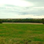
The Hawthorn Dene walk is a wonderfully varied walk on the Durham coast. It has industrial history, beaches, clifftops and woodland.
Details
| Hills: | There are some small hills to access the beaches and Dene. | |
| Distance: | Medium distance | |
| Grade: | Easy | |
| Map: |  |
|
| This walk is on OS map Explorer 308 Durham & Sunderland. Click on map image to buy this map. | ||
| Declaration: We are a participant in the Amazon Services LLC Associates Program, an affiliate advertising program designed to provide a means for us to earn fees by linking to Amazon.com and affiliated sites. | ||
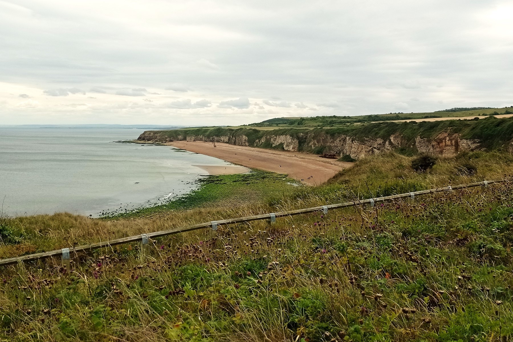
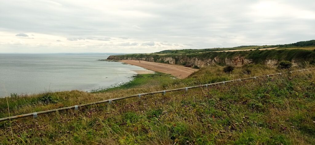
The start – Nose’s Point
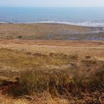
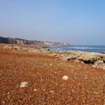
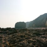
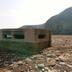
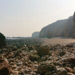
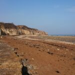
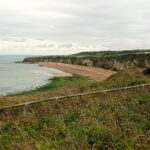
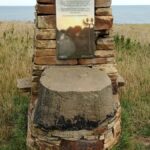
We start at Nose’s Point. The name comes simply from the fact that it juts out into the sea, like a nose. South of Nose’s Point is Blast Beach, which was used a a dumping ground for various industrial activity, including Dawdon Colliery. A few decades ago, there was a shelf of waste, which extended several kilometres out to sea. It is rapidly returning to it’s natural state now.
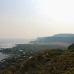
Hawthorn Hive
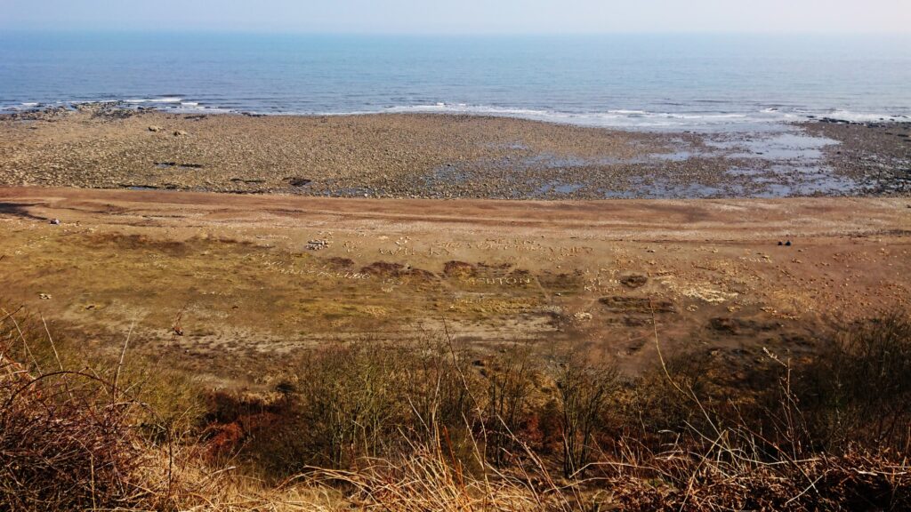
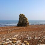
Hawthorn gets it’s name from the Hawthorn that grows in that area. The hive (or hythe) is a variation on the word for a landing place. This beach has been famous for the pebble art created by visitors (including Robson Green).
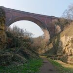
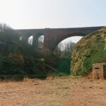
From here we cross the railway and head towards Beacon Hill.
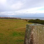
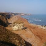
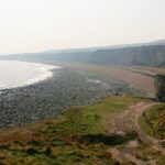
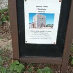
Beacon Hill
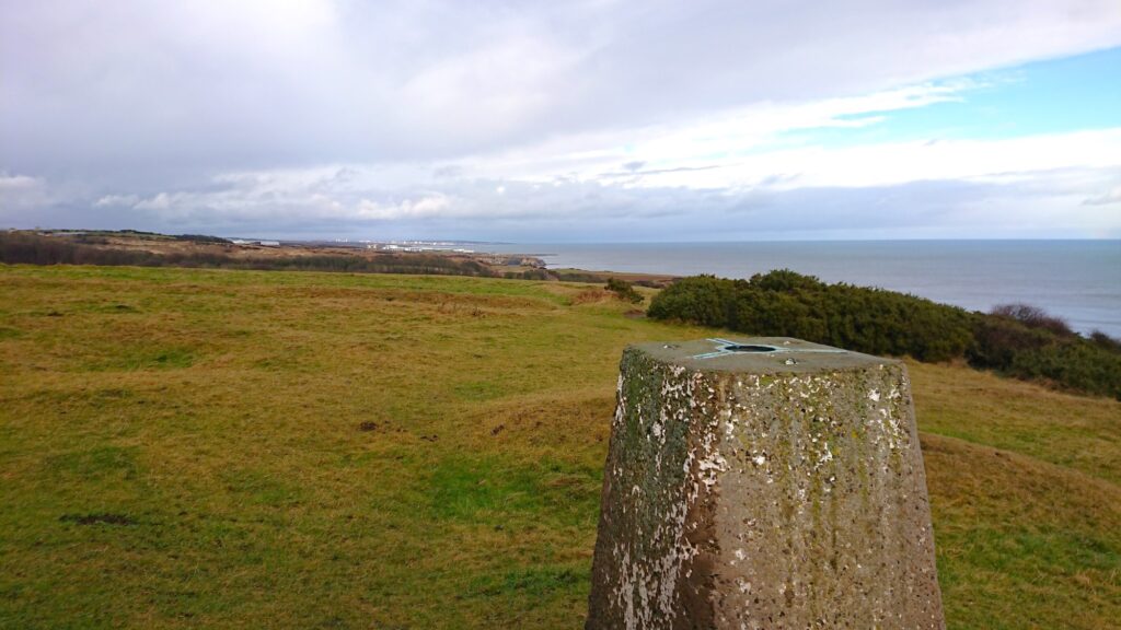
This is the highest point on the walk and provides some great views. We walk along tracks towards Hawthorn Village, skirting past part of Hawthorn Dene. We take a track behind the village and join another path into the Dene.
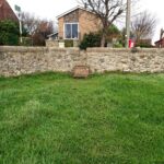
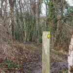
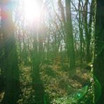
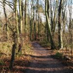
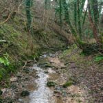
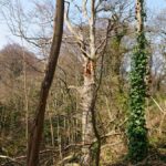
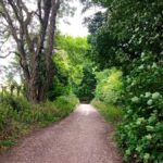
Hawthorn Dene
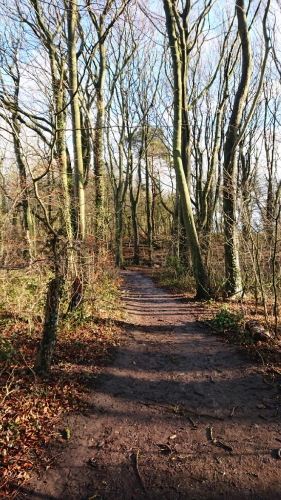
Hawthorn Dene is managed by the Durham Wildlife Trust. The walk through the Dene is a wonderful mix of ancient woodland and meadow.
After leaving the Dene, we walk back to Nose’s Point.
We hope you can join us.
Julie and Martin xx
Gallery – Hawthorn Dene

Home | Blog | Walks | Sign-up | Contact
Strolls with Poles – Nordic Walking for Fun and Fitness