Description
Fontburn Reservoir and Greenleighton

Fontburn and Greenleighton is a walk that gives views of Fontburn Reservoir from both above and beside. This Reservoir is one of the many pretty reservoirs in Northumberland and there is a path all the way around it.
Details
| Hills: | Easy to Moderate – Some short steep bits | |
| Distance: | Medium distance | |
| Grade: | Moderate | |
| Map: |  |
|
| This walk is on OS map OL42 Kielder Water & Forest. Click on map image to buy this map. | ||
| Declaration: We are a participant in the Amazon Services LLC Associates Program, an affiliate advertising program designed to provide a means for us to earn fees by linking to Amazon.com and affiliated sites. | ||
The start
We start from Greenleighton Quarry car park. The quarry is disused, so we can all use this convenient car park now.

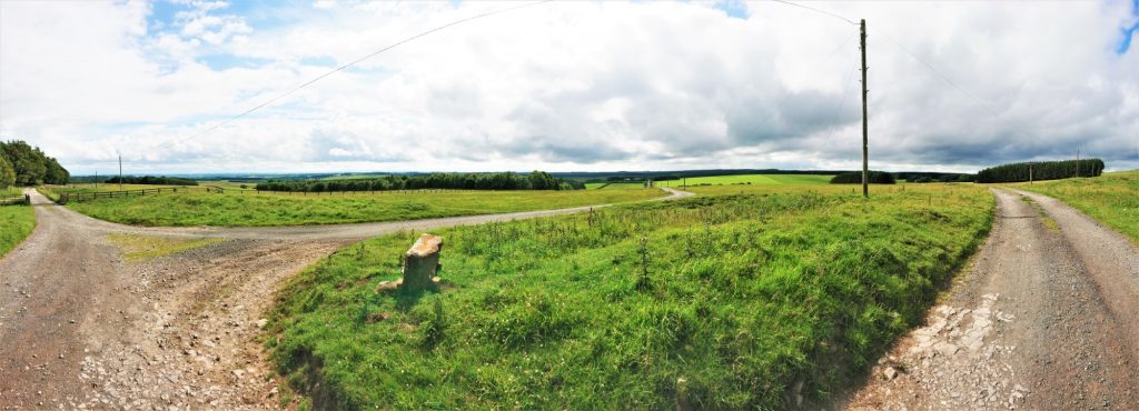
From the car park, we take the track to Greenleighton Hill. From here, we will see Dyke Head and Greenleighton Farms. Just past them is the eastern edge of Harwood Forest, which extends north up to Simonside.
Greenleighton Hill
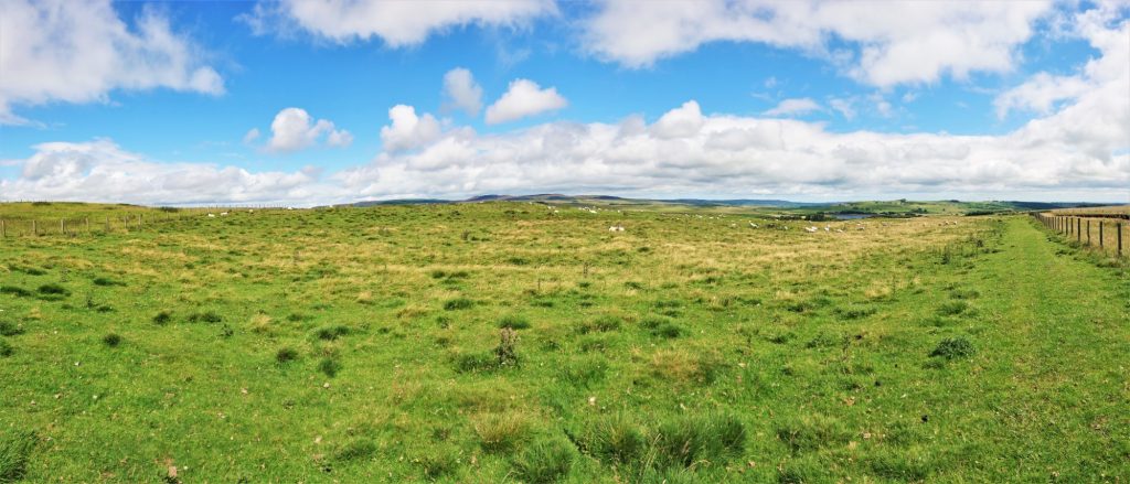
Greenleighton Hill is the highest point for some distance here. The views are amazing from this hill, especially north towards Simonside.

Down to the reservoir
We follow a track along the Quarry fence and then down the side of the moor to the path around the reservoir. We turn east and follow the path the short distance to the dam, where we will have lunch.

Lunch
It’s a lovely place to eat lunch. There are picnic benches here, that overlook the water.

Fontburn north side
After lunch, we cross the top of the dam. We will see a viaduct in the distance. This used to carry the Rothbury branch line. The same line that connects to the Wannie Line at Scot’s Gap. Unfortunately, the line can’t be walked on this stretch.
The other end of the dam is the start of the path around the reservoir. We’ll probably see some anglers here, as angling is very popular on this reservoir.
The path follows the water closely, for most of the path along the north side. We will probably see plenty of geese here.
At the western end of the reservoir, there is a headland. The waterside path ends here, so we will take the diverted route towards Newbiggin Farm. We gain some height here, so the views of the surrounding area return.
Before long we will join the waterside path again.
Fontburn south side
The south side is every bit as good as the north side. On a sunny day it offers shade, as the path is in trees for most of the way.
Greenleighton Quarry
When we reach the gate that we used to join the path earlier, we will leave the path and take the path back towards the quarry. However, we will instead take a path round the east side of the quarry and back to the car park.
Hope to see you there..
Julie and Martin x
Home | Blog | Walks | Sign-up | Contact
Strolls with Poles – Nordic Walking for Fun and Fitness

