Description
Deadwater Fell
Deadwater Fell is a hill at the northern end of Kielder Reservoir. It is the highest hill in the surrounding area and provides panoramic views in all directions.
Details
| Hills: | Medium hills | |
| Distance: | Medium distance | |
| Grade: | Hard | |
| Map: |  |
|
| This walk is on OS maps Explorer OL42 Kielder Water & Forest. Click on map image to buy this map. | ||
| Declaration: We are a participant in the Amazon Services LLC Associates Program, an affiliate advertising program designed to provide a means for us to earn fees by linking to Amazon.com and affiliated sites. | ||
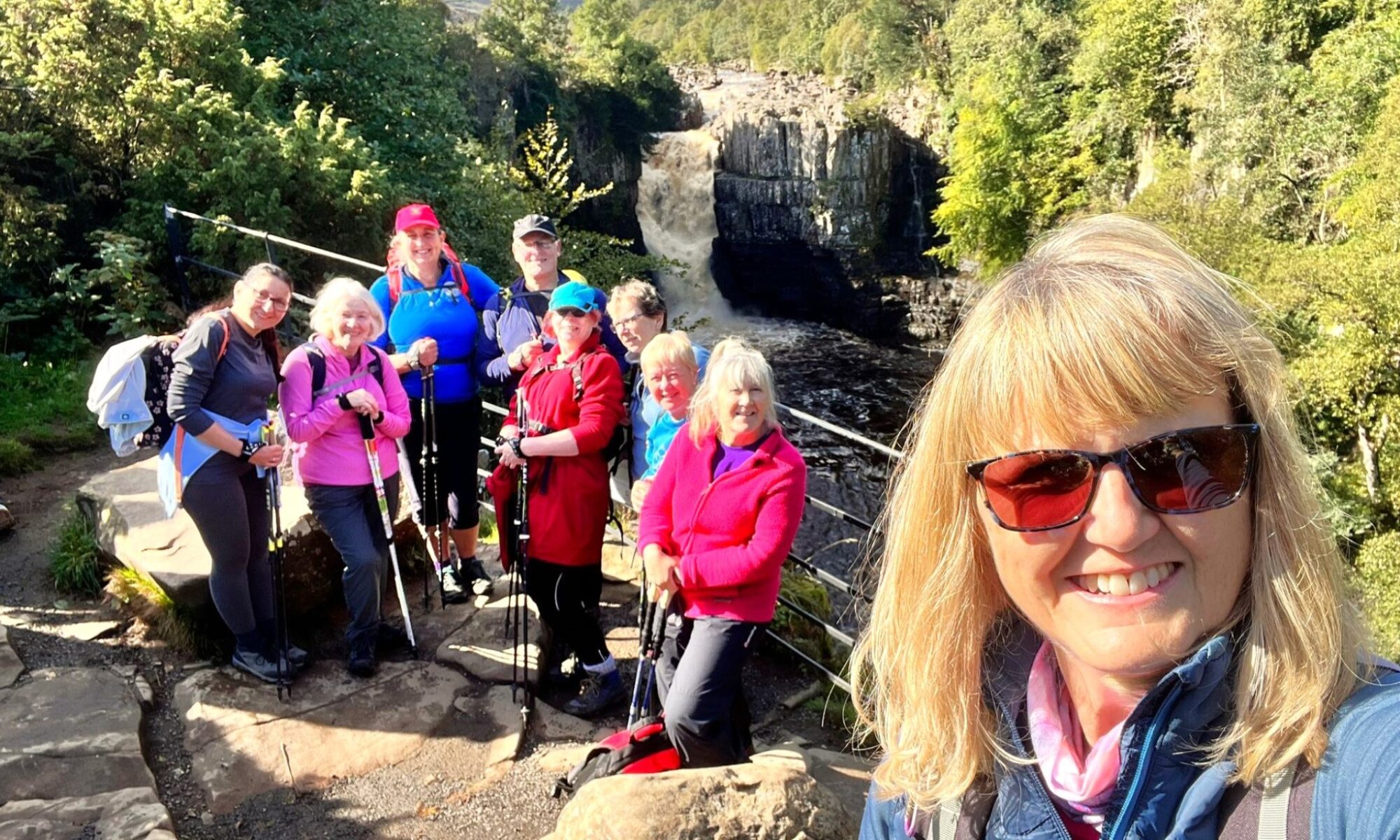
The start
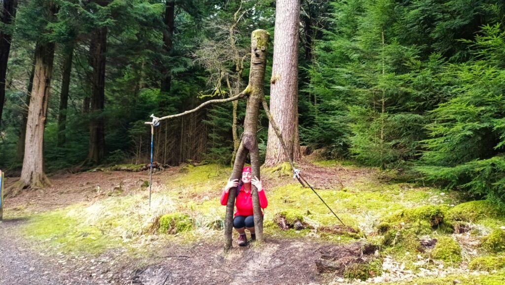
We start near Kielder Castle. There are toilets here. Then we take a path to the west. This leads into the Room On The Broom Trail, where you can take part in the fun games.
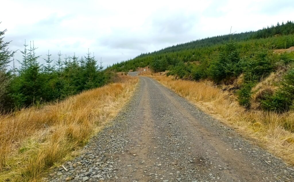
Kielder Forest tracks
For a large proportion of the walk, we follow the logging roads. This area is popular with mountain bikers, so you might see some cycling up to Deadwater Fell.
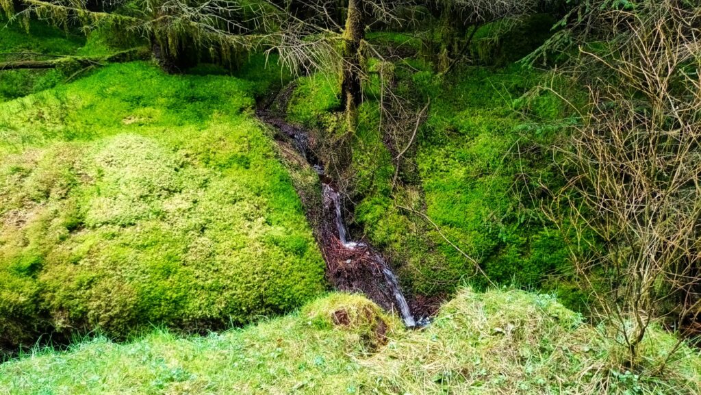
There is a short path between tracks, where you will see the mosses and forest plants.
The last bit
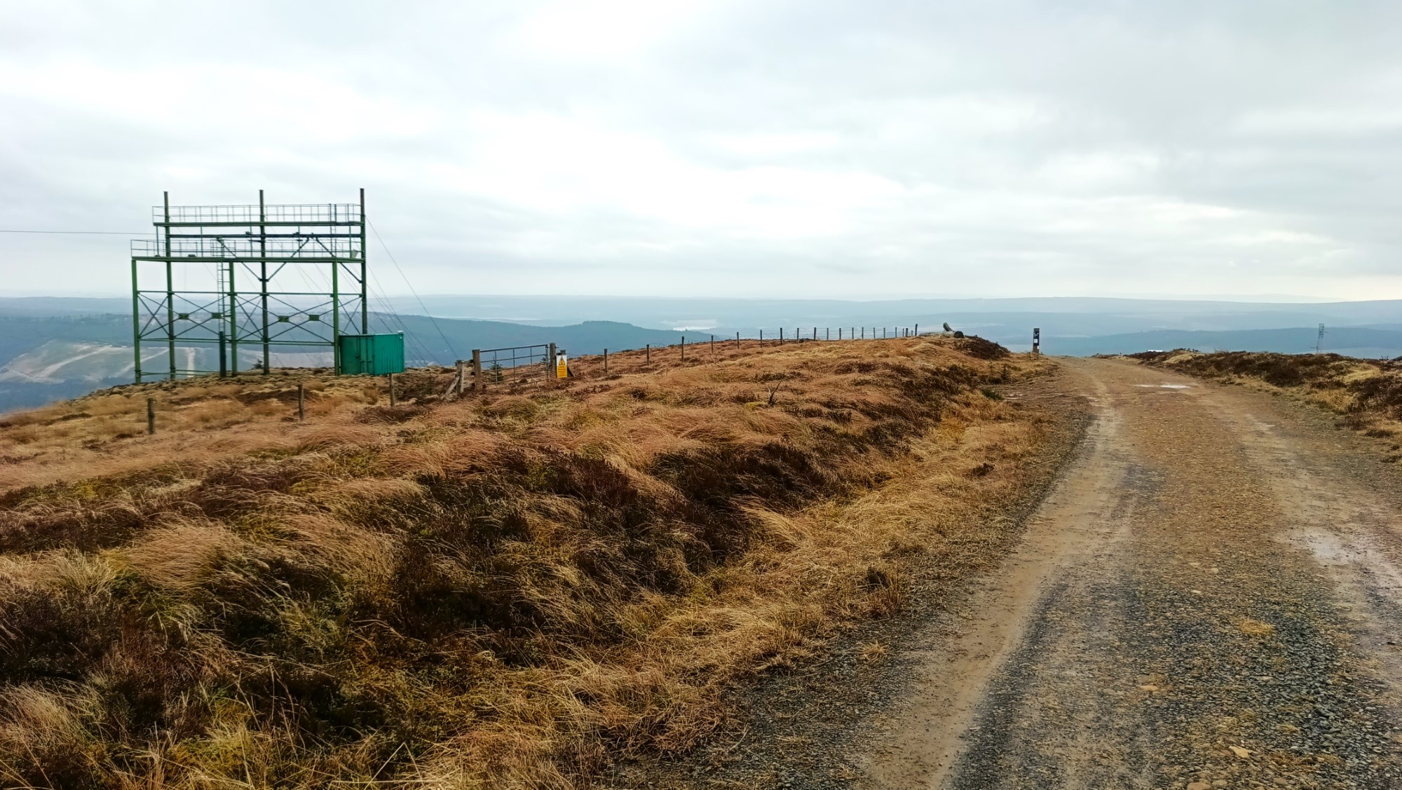
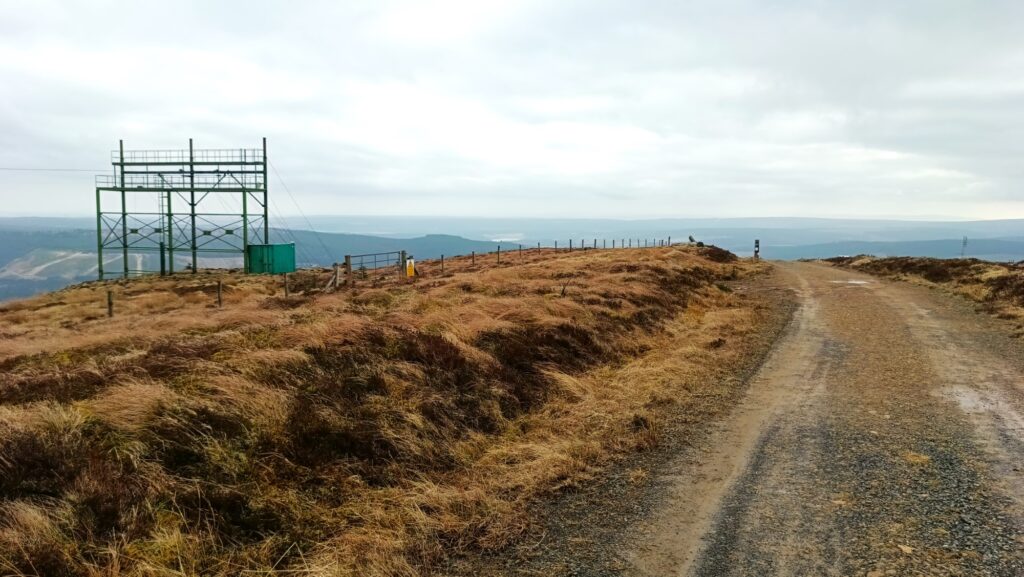
The last bit is up an open forest track. Most of the summit has been harvested some time ago, so the views of the surrounding area are amazing.
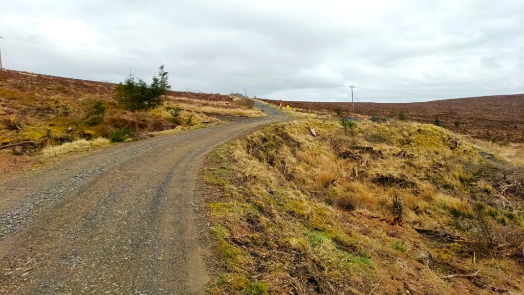
As we turn onto the track to the summit, we will see the odd looking features, including a dome, which we believe is used by the Navy for aircraft navigation. There is also a power line testing facility.
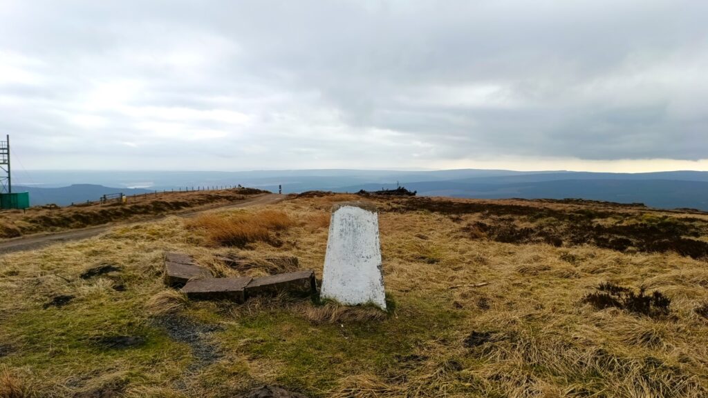
The summit
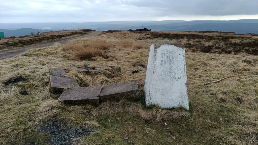
At the summit we are told that we can see, the Solway Firth, Scotland and the North Sea. Maybe on a very clear day. Regardless, the views are amazing.
Back Down
We will descend from the hill using the same route we took upwards and then take a little shortcut near to the car park.
Hope to see you there,
Julie and Martin x
Home | Blog | Walks | Sign-up | Contact
Strolls with Poles – Nordic Walking for Fun and Fitness