

Description
Around Rothbury
The Around Rothbury walk takes in the area around Rothbury, visiting interesting places and providing some spectacular views over the Coquet Valley.
Details
| Hills: | Some hills | |
| Distance: | Medium distance | |
| Grade: | Moderate (Hills) | |
| Map: | 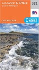 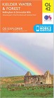 |
|
| This walk is on OS maps 332 Alnwick & Amble and OL42 Kielder Water & Forest. Click on map image to buy this map. | ||
| Declaration: We are a participant in the Amazon Services LLC Associates Program, an affiliate advertising program designed to provide a means for us to earn fees by linking to Amazon.com and affiliated sites. | ||
Start
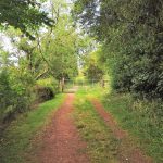
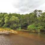
We start in the same place as for the Christmas Walk, Haugh Car Park, on the South bank of the Coquet. From here we cross the footbridge and head upstream.

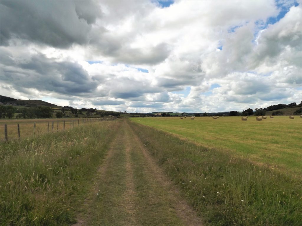
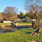
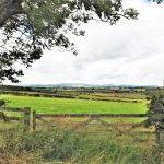
We walk along a path by the river to Lady’s Bridge. This crosses the Coquet at Wolves Haugh. Wolves Haugh is a large flat area, that often floods, just upriver from Rothbury.

After crossing the river we take a track along the edge of a field, before emerging onto the road.
Great Tosson
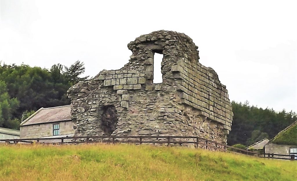
A little bit of road walking leads us up to Great Tosson. If you like, we can visit Tosson Tower, a bastle tower that was built in the 14th or 15th century to defend the area against Border Reivers.
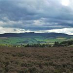
From Great Tosson we walk down to the Lime Kiln. For many years this kiln was used to produce lime to spread on the acid soil in the fields. The view from the top of the kiln is a panoramic view of the Coquet Valley.

Thropton
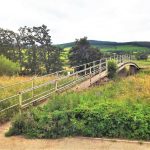
From Tosson Lime Kiln, we take a path across fields to another bridge across the Coquet. This leads us into Thropton. It’s a lovely little village with two pubs and a bridge over the Wreigh Burn.

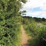
Physic Lane
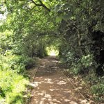
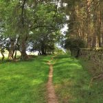
To get up to the carriageway, we use Physic Lane. It is said to get its name from the place that the Knights Hospitallers of St John of Jerusalem, who created a hospital in Thropton.
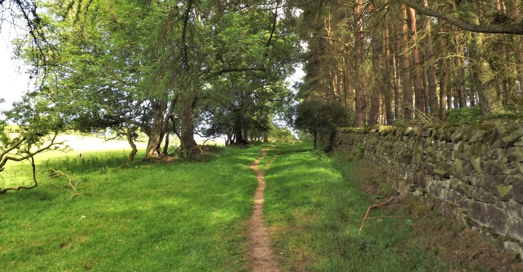
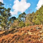
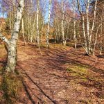
Physic Lane runs up the side of the fell and through woodland, eventually opening onto open moorland.
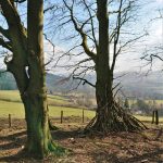
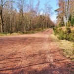
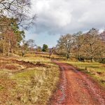
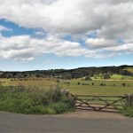
The Carriageway
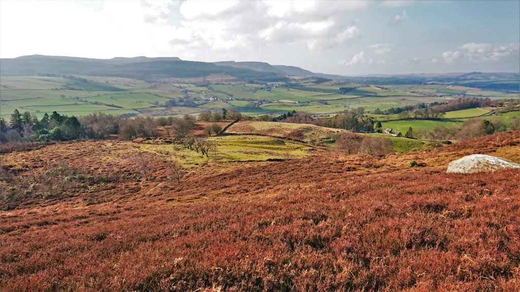
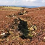
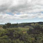
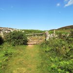
At the top of Physic Lane we take path through the heather to the Carriageway Drive.

The Carriageway Drive was once part of a long drive around the Cragside Estate. Lord Armstrong would take his visitors on the drive to show off his Estate.
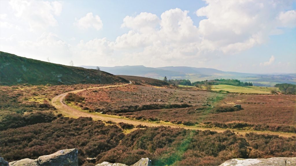
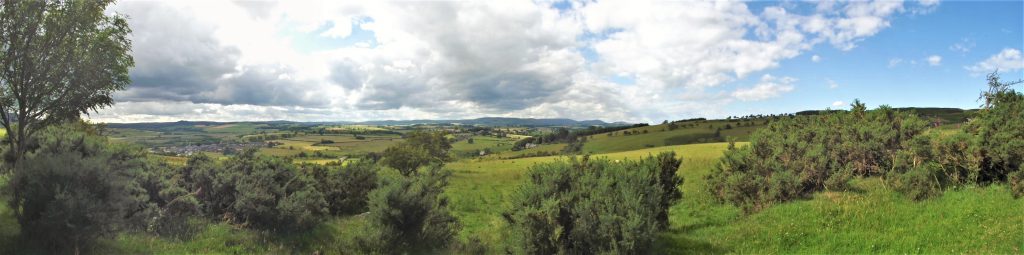
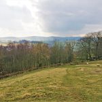
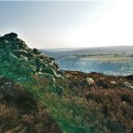
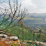
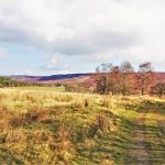
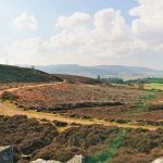
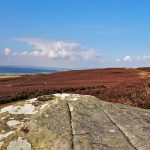
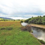
The reason Lord Armstrong brought visitors here is the reason we are here. The views are outstanding. The distinctive outline of Simonside can be seen across the valley and the River Coquet can be traced up the valley to its source in the Cheviots.
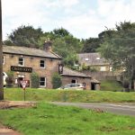
Back to Rothbury
The final stretch is along the carriageway and back into Rothbury. We will visit Bewick’s for our after walk refreshments.

Hope to see you there.
Julie and Martin x
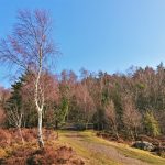
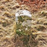
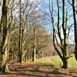
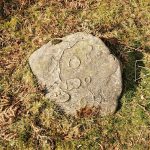
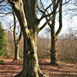
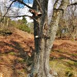
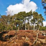
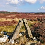
Gallery – Rothbury Carriageway


Home | Blog | Walks | Sign-up | Contact
Strolls with Poles – Nordic Walking for Fun and Fitness