Description
Allen Banks

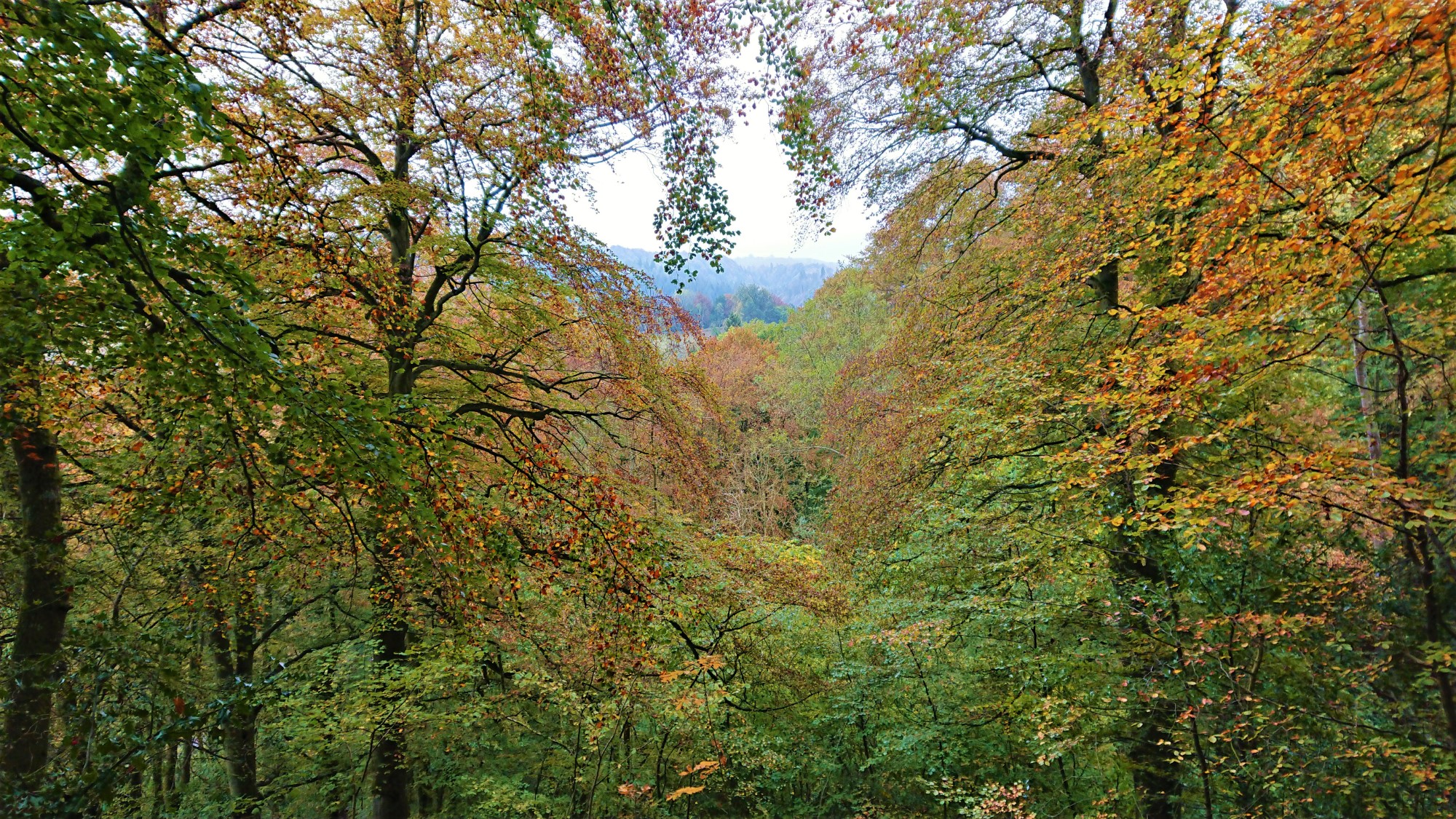
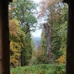
The Allen Banks walk is a lovely walk along the banks of the River Allen and in the woodland and farmland surrounding it. The area that we walk in is mostly managed by The National Trust.
Details
| Hills: | Some small hills | |
| Distance: | Medium distance | |
| Grade: | Easy | |
| Map: |  |
|
| This walk is on OS maps OL43 Hadrian’s Wall: Haltwhistle & Hexham. Click on map image to buy this map. | ||
| Declaration: We are a participant in the Amazon Services LLC Associates Program, an affiliate advertising program designed to provide a means for us to earn fees by linking to Amazon.com and affiliated sites. | ||
The start
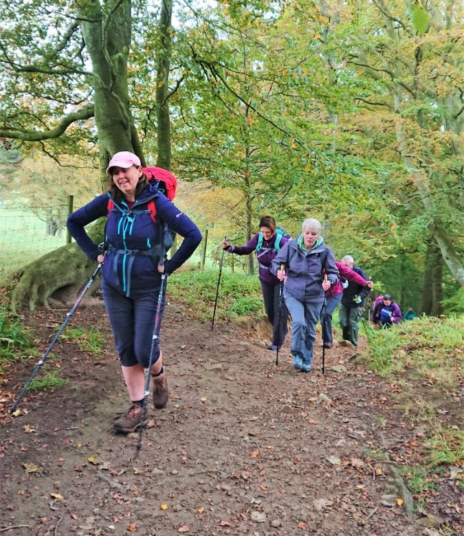
We will start at the car park just off the A69. If you are a member of The National Trust and have a valid car sticker, the car park is free. Otherwise, there is a small fee for parking here that goes to the upkeep of this site.
Allen Banks

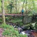
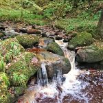
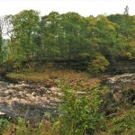
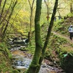
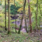
From the car park we will follow a path along the banks of the River Allen, upstream. The paths are relatively good and the views along the river are beautiful.
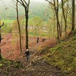
Storm Desmond severely damaged the Allen Banks area a few years ago. The National Trust have reinstated the paths around the river and woodland, that were washed away. The job that they have done is wonderful and really compliments the area.
The River Allen
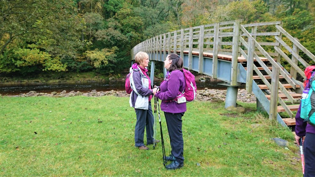
When we reach Plankey Mill, we will take a different path back to the start, following the river downstream.
The River Allen is a confluence of the West and East Allen rivers, that have their source in the North Pennines. The source of the East Allen is at Allenheads, where we had a walk in June 2018. The source of the West Allen is near Ninebanks.
Refreshments
After the walk, we will visit The Garden Station tea room for refreshments.
Hope to see you there.
Julie and Martin x
Gallery – Allen Banks
Strolls with Poles – Nordic Walking for Fun and Fitness


