
Description
Barrasford and Gunnerton
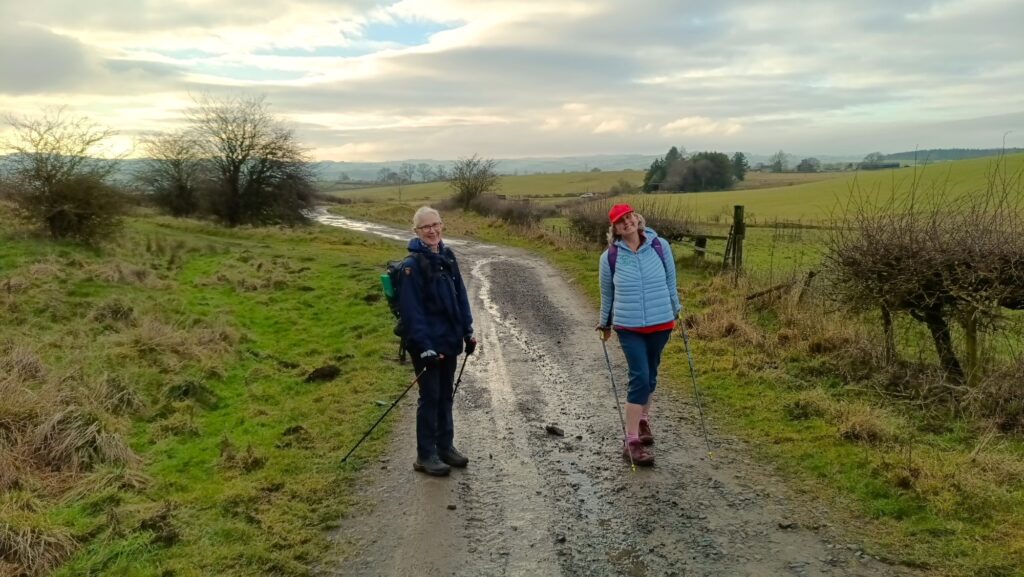
The Barrasford and Gunnerton is a lovely walk in Hadrian’s Wall country. It is a figure of eight walk based around the Border Counties Railway, which once served Barrasford.
Details
| Hills: | Some small hills | |
| Distance: | Short distance | |
| Grade: | Moderate with hills | |
| Map: |  |
|
| This walk is on OS maps Explorer OL43 Hadrian’s Wall. Click on map image to buy this map. | ||
| Declaration: We are a participant in the Amazon Services LLC Associates Program, an affiliate advertising program designed to provide a means for us to earn fees by linking to Amazon.com and affiliated sites. | ||
The start
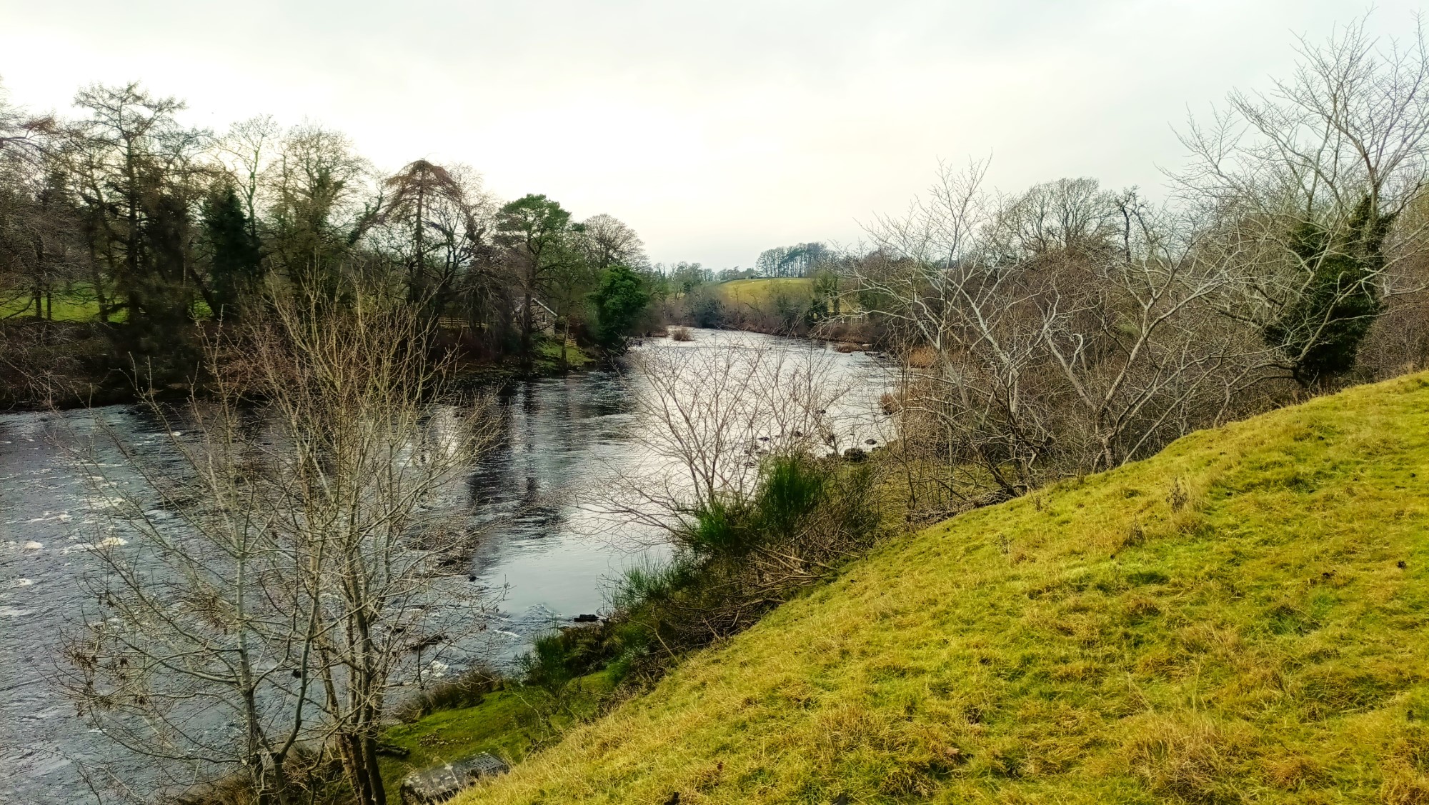
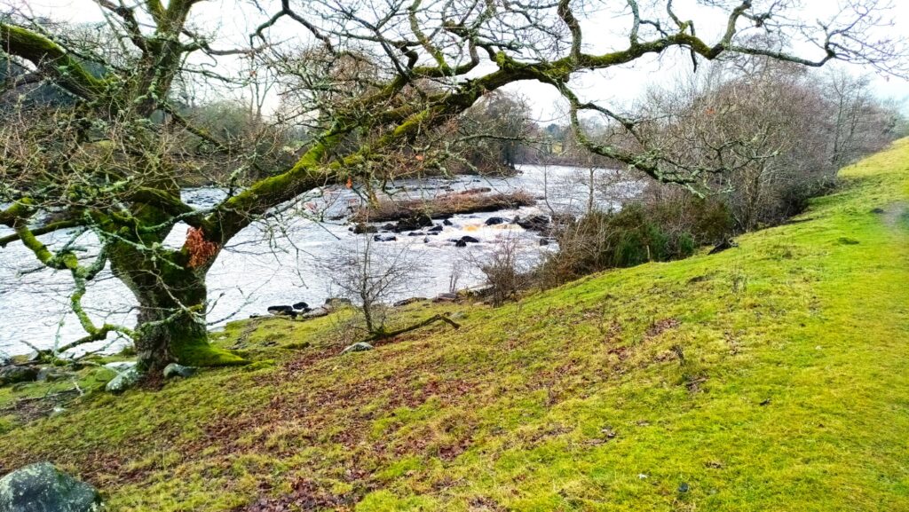
We will start in Barrasford and walk along the road to the South East. Close to Chollerton, we join the River Tyne Trail and follow the remains of the old rail bed, along the North Tyne and back to Barrasford.
Off to Gunnerton
Once back at Barrasford, we walk along the road, in the direction of Gunnerton. At the old quarry, we take the footpath, which again follows the old railway. This leads to a path across fields to Gunnerton.
Great Swinburn
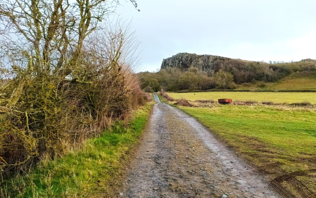
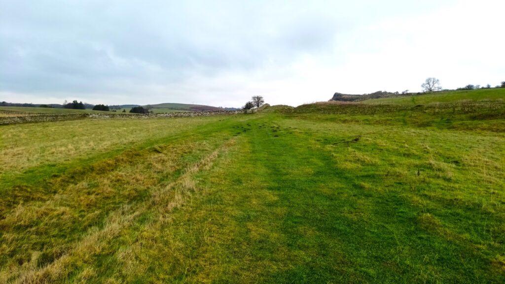
Leaving Gunnerton, we follow a track towards a large rocky outcrop. This was the site of an old quarry (before the more modern one) that had a small settlement situated on it. We then cross a field towards Great Swinburn.
Back to Barrasford
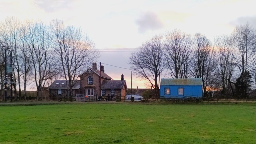
Just to the west of Great Swinburn, we join a track back towards Barrasford. This becomes Chishill Way. However, about half a mile from Barrasford we take a route across fields, and return to Barrasford via the old train station.
After the Walk
We will visit our friends at The Riverside Kitchen in Chollerford for food.
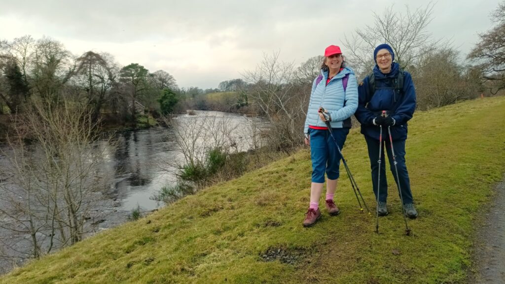
Hope to see you there
Julie and Martin x
Home | Blog | Walks | Sign-up | Contact
Strolls with Poles – Nordic Walking for Fun and Fitness